
Exploring British Columbia one place at a time
Guides, articles & travel tips for BC and surrounds
Receive our latest articles in your inbox
Latest Articles
Gastown: The Heartbeat of Vancouver’s Vibrant History and Culture
If you’re planning a trip to Vancouver, there’s one neighborhood that you absolutely must not miss: Gastown. Nestled in the …
Stanley Park: A Slice of Heaven in Vancouver
If you’re anything like me and you’re planning a trip to Vancouver, you simply cannot miss out on Stanley Park. …
Vancouver: A City That Has It All and Then Some!
Vancity (yes, that’s how it gets referred to by locals), the city that has it all! Nestled between the Pacific …
Featured Places and Activities


About Us
We are glad that you are here
Welcome to BC Travel! We’re a team of passionate travel enthusiasts who have fallen in love with the incredible beauty and diverse experiences that British Columbia, Canada has to offer. Founded originally in 1996, BC Travel aims to be your one-stop destination for all things related to exploring this amazing province.
Our mission is simple: to inspire, inform, and connect travelers who want to experience the best of British Columbia. We’re dedicated to making your trip planning process seamless and enjoyable, by providing comprehensive and up-to-date information on everything from must-see attractions, hidden gems, outdoor adventures, local cuisine, and cultural experiences.
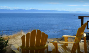
Featured accommodation


